
The government’s plan to secure growth in the UK’s £13.7bn space industry was outlined in the Queen’s Speech last Wednesday (21st June 2017). The plan involved “enabling [scientists] to launch from UK soil” and updating legislation to “offer the UK’s world-leading small satellite companies new options for low-cost, reliable access to space”. This pledge followed the recent announcement that £99 million of the government’s industrial challenge fund would be spent on developing UK space manufacturing and testing capabilities. The challenge fund is part of the government’s strategy to increase funding for research and development by £4.7 billon over the next 4 years, having identified space technology as one of six key areas to drive UK innovation.
These commitments to the UK space sector reflect the growing importance of satellite-enabled communications and applications to UK businesses and the day-to-day life of its citizens. This blog is the first in a series to explore this relationship and highlight the economic and social value of UK space technologies. It focuses on how satellite applications are increasingly being utilised to improve productivity in the agricultural sector, supporting the expansion of food production, whilst reducing its environmental impact.
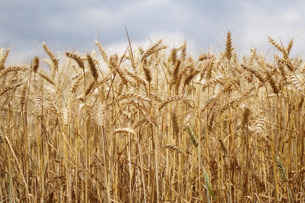
The UK agriculture sector employs 450,000 people and contributes £9 billion to the economy. It is incredibly important. However, it is a sector facing considerable challenges such as low yield volumes and the over-application of fertiliser, leading to pollution of the soil and groundwater. Furthermore, the United Nations have predicted that the global population will grow to 9.6 billion by 2050, thus the demand for food production is set to rise by 70 per cent over the next 20 years. It is widely accepted that R&D investment in agricultural technologies is critical to satisfy these demands and ensure future food security.
 Satellites and UAVs (unmanned aerial vehicles) will play an important role in this, as they are increasingly used to monitor crops and forecast future yields. For example, optical satellites show how well crops are growing by measuring how they absorb solar radiation in the visible and near-infrared spectrum to produce a ‘normalised difference vegetation index’ (NDVI). The NDVI is proportional to the amount of chlorophyll in the crops (higher chlorophyll reflects more light in green and infrared spectra), which changes as crops grow or their health changes. Farmers can use NDVI’s to monitor chlorophyll levels throughout their crops’ growth cycles, reacting to areas of concern and applying fertiliser appropriately. This targeted approach to fertiliser application helps farmers’ save costs and reduces nitrate run-off into the soil/groundwater (from over application of fertilisers). Satellite imaging can also be used to assess the water concentration of fields and direct irrigation requirements. Consequently, space technologies allow farmers to make quicker and more accurate assessments of the status of their crops, compared to their traditional methods of ‘crop walking’. This is helping to increase productivity and also reduce the environmental impact of the agricultural sector. The value of this is increasing as more and more national and international farmers/agronomists are contracting UK companies to process and analyse satellite data. This data can be commercially purchased at a spatial resolution of up to 30cm or is freely available at a lower resolution via the EU Copernicus programme.
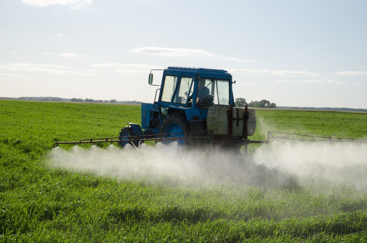
Furthermore, satellite navigation systems can be used to remotely control tractors to apply different rates of fertiliser to different parts of a field, based on where weeds have been detected or where there is a lower predicted yield (based on NDVI). The precision agriculture approach enabled by satellite navigation systems also has the advantage of allowing farmers to work during low visibility field conditions such as rain, fog, and darkness. There are also many other space-enabled agricultural technologies which are still under development. For example, current studies are exploring how satellite and UAV imagery can be used to monitor herd behaviours and relate findings to the animals’ health. So with a renewed commitment made by the government to the space sector, and the potential for the development of further applications farmers are watching this space!
To sign up to our blog mailing list, please click here.
Images from Department of Defense / kirahoffmann / Aqua Mechanical / CC BY